
 |
 |
 |
 |
 |
 |
 |
 |
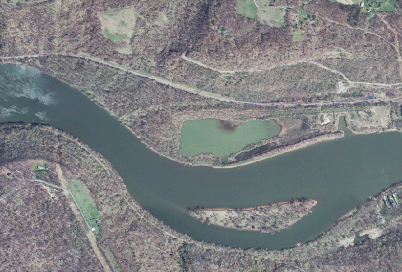
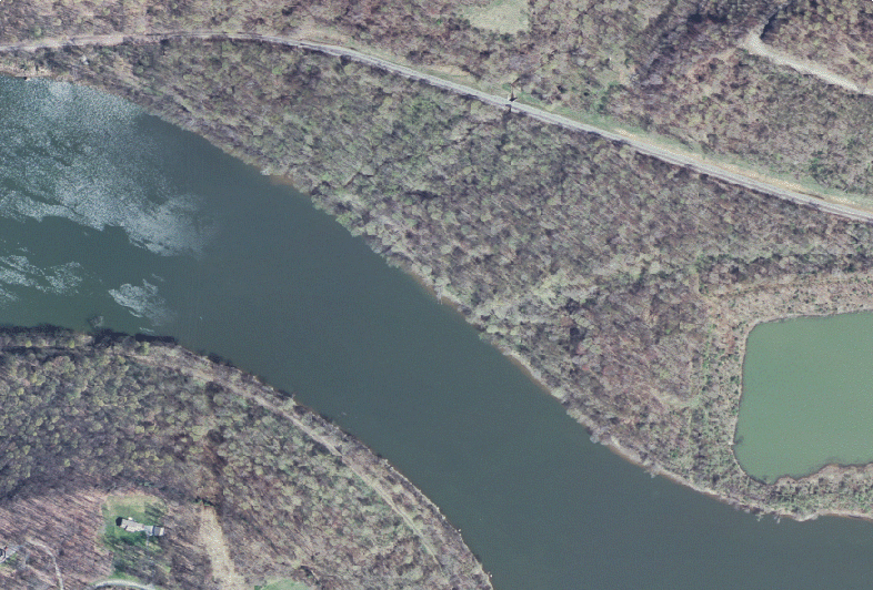
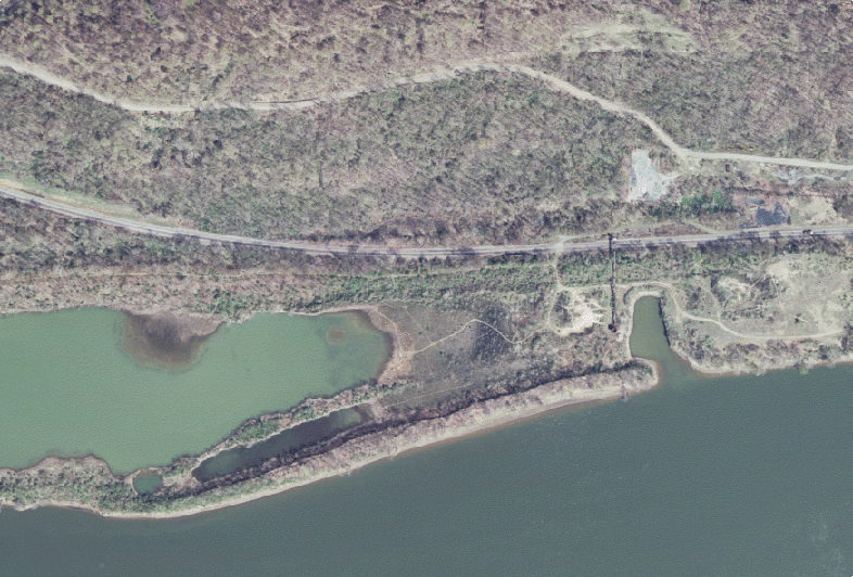
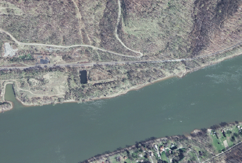
Below are links to both historical aerial photographs and recent satellite images. Detailed information about the photosets (if available) can be found in the notes section after each group of links. For bandwidth purposes they are linked to this page instead of displayed.
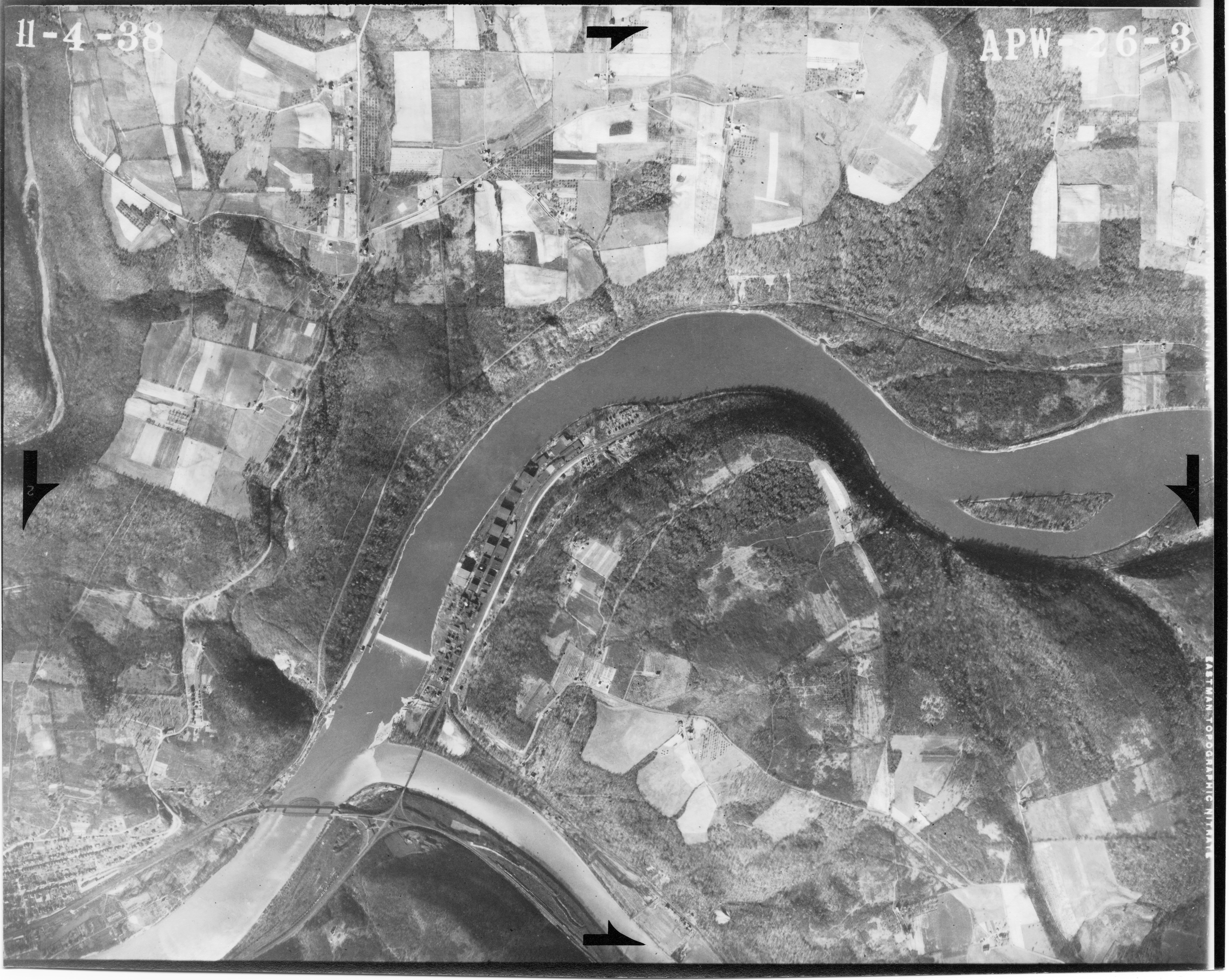
9/25/1938 (Close-up)
Overview West
Overview Southeast
Overview East
Notes: These photos were taken by the USDA under the Agricultural Adjustment Administration. They were obtained using Penn Pilot database (http://ceiwin1.cei.psu.edu/pennpilot/)
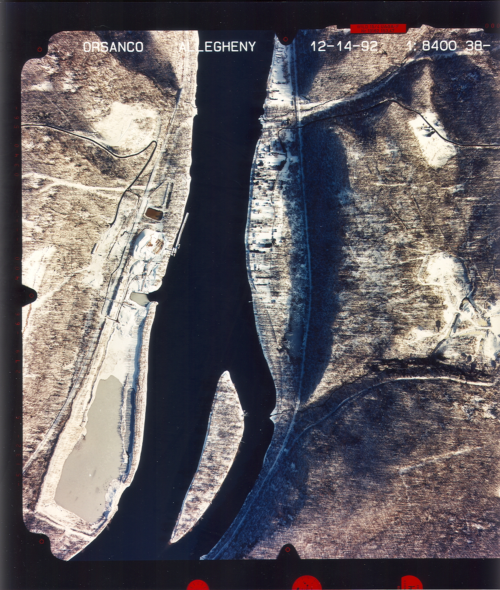
Notes: This photo was taken to assist the USGS with mapping. It was obtained via the Southwestern Pennsylvania Commission
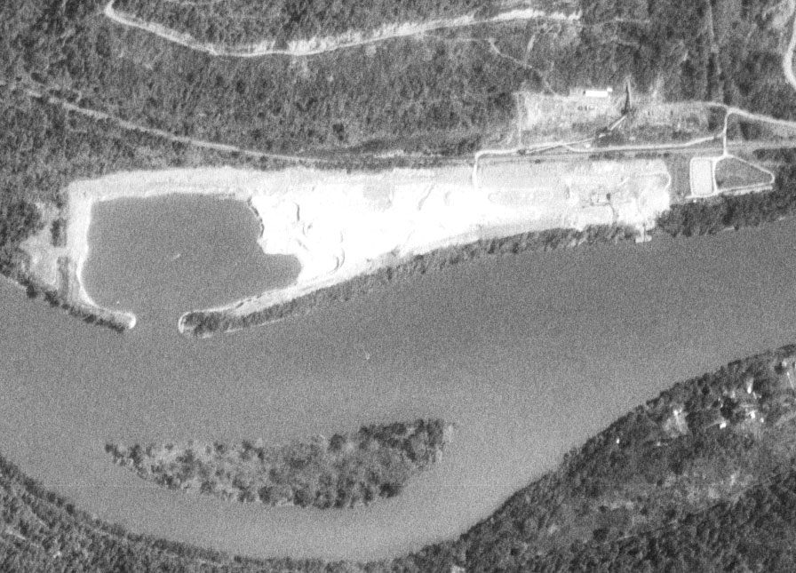
2006 (Overview)
Close-up West
Close-up Central
Close-up East
Notes: These photos were obtained using the DCNR's PAMAP application (http://www.dcnr.state.pa.us/topogeo/pamap/index.aspx)
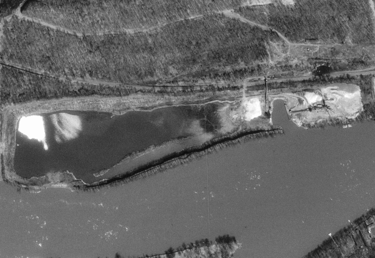
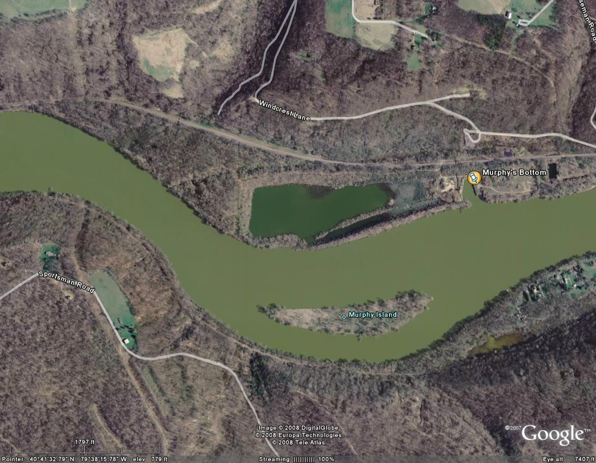
2008 (Overview)
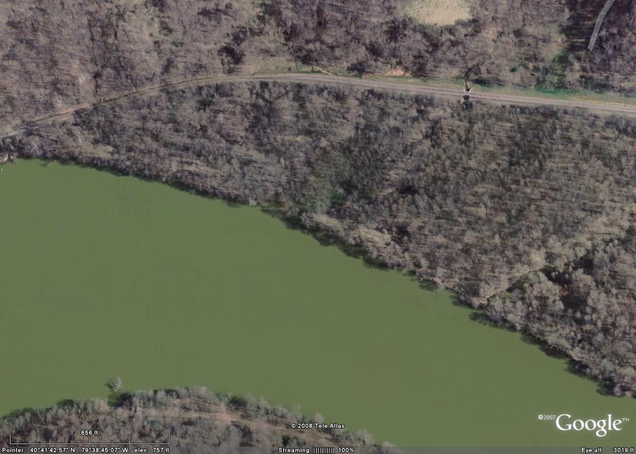
Close-up West
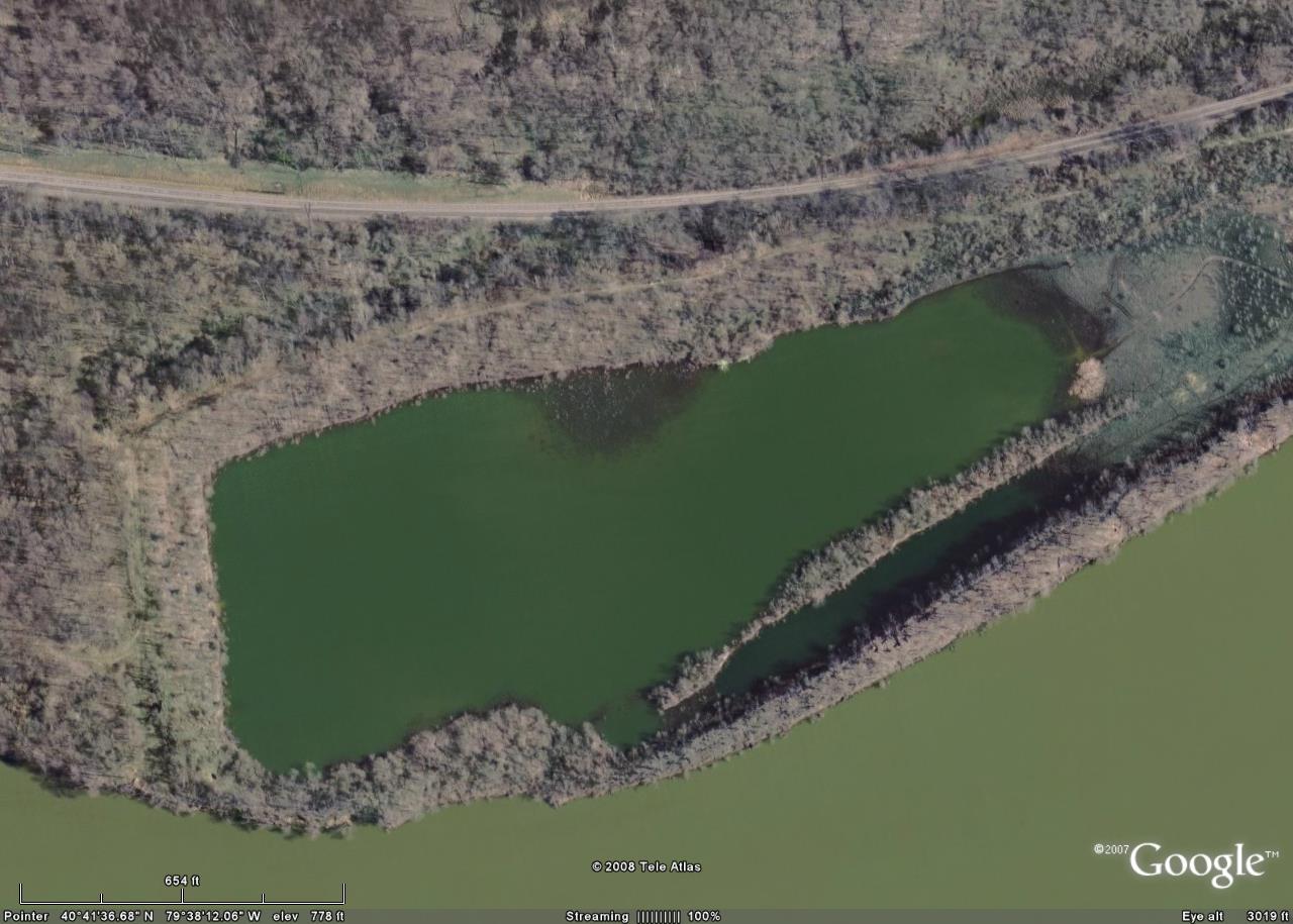
Close-up Central
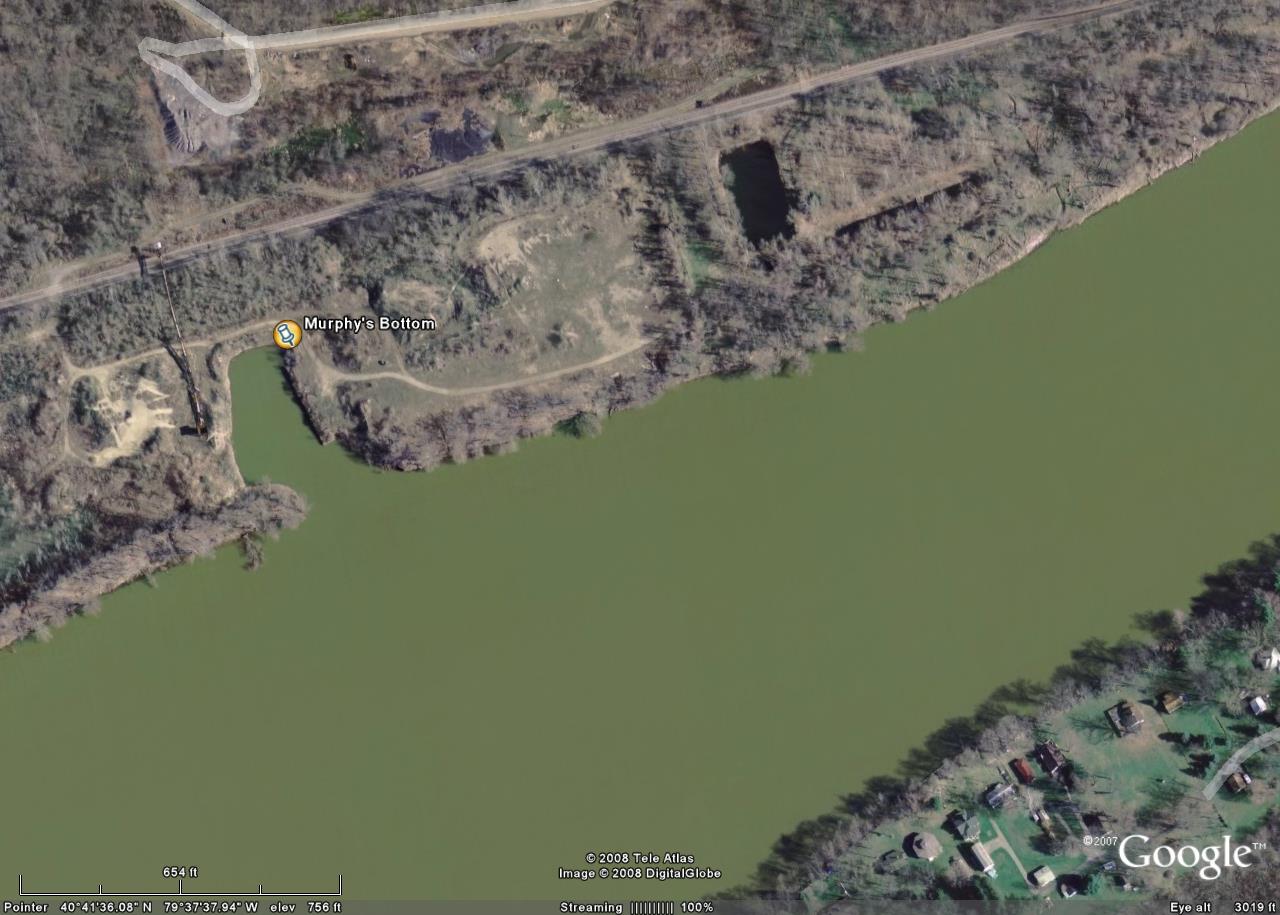
Close-up East
Notes: These photos were obtained using free Google Earth software