
 |
 |
 |
 |
 |
 |
 |
 |
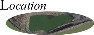
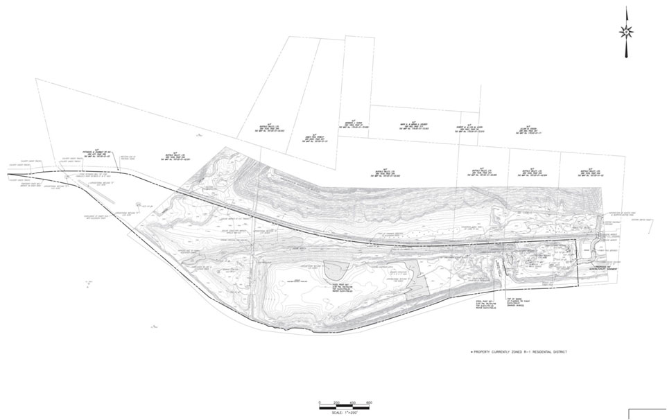
Murphy's Bottom is a moderately-sized portion of land situated along the Allegheny River in Armstrong County, very near its border with Allegheny County. The word "Bottom" in the title refers to its low-lying position next to the river usually catagorized by its swampy, yet fertile soil. However, human alteration as well as geological variation have produced a very unique topography supporting numerous sub-habitats. Below you will find links to different information about the location and physical characteristics of the site.
Bathymetric Surveys (Main Lake)